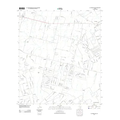
2013 Map of La Vernia SW
USGS Topo · Published 2013About this map
Lone Oak and the surrounding Bexar County prairie landscape are captured in this 2013 survey, showcasing a mix of established rural settlements and modern aviation infrastructure. Small airstrips like Mc Creless Farm Airport and Cleveland Airport sit alongside older community focal points, including the La Vernia Cem and the settlement at Kicaster. The terrain is shaped by the drainage of Kicaster Cr and Sandpit Cr, which feed into the local creek system, while the distinctive landmark of Rocky Point rises above the low-lying plains.
Find a feature on this map
166 named features on this map. Tap any name to fly to it.
Don’t see what you’re looking for? This feature index may not catch every label — zoom into the map to look around manually.
Map Details
Editions of this 2013 La Vernia SW Map
This is the sole edition of this map. No revisions or reprints were ever made.
Other maps of this area

1936 · Floresville
USGS Topo · 1:62,500

1953 · Elmendorf
USGS Topo · 1:24,000

1953 · Martinez
USGS Topo · 1:24,000

1954 · San Antonio
USGS Topo · 1:250,000

1957 · San Antonio
USGS Topo · 1:250,000

1957 · New Berlin
USGS Topo · 1:24,000

1958 · La Vernia SW
USGS Topo · 1:24,000

1958 · Saspamco
USGS Topo · 1:24,000
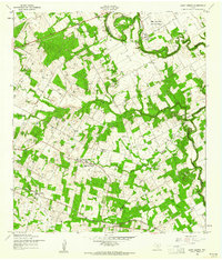
1958 · Saint Hedwig
USGS Topo · 1:24,000
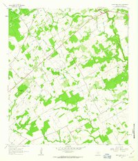
1961 · Marcelinas Hills
USGS Topo · 1:24,000