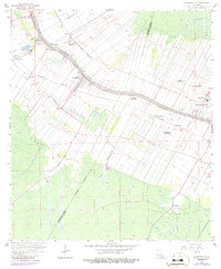
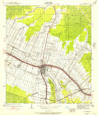
1962 Map of Labadieville
USGS Topo · Published 1986About this map
Bayou Lafourche serves as the central artery for this sugar-producing region, with agricultural tracts organized in traditional long-lot ribbons extending back from the water. The landscape is defined by its historic sugar estates, including Cedar Grove Plantation, St Rose Plantation, and White Plantation. These plantations, alongside settlements like Labadieville and Supreme, follow the high ground of the natural levee, while the low-lying swamps of Chacahola Field and Bayou Boudreaux dominate the southern reaches.
Find a feature on this map
37 named features on this map. Tap any name to fly to it.
Don’t see what you’re looking for? This feature index may not catch every label — zoom into the map to look around manually.
Map Details
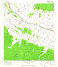
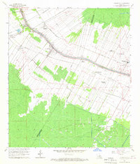
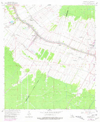
Editions of this 1962 Labadieville Map
4 editions found
Other maps of this area

1892 · Gibson
USGS Topo · 1:62,500

1892 · Thibodaux
USGS Topo · 1:62,500

1897 · Gibson
USGS Topo · 1:62,500

1927 · Thibodaux NW
USGS Topo · 1:31,680

1932 · Thibodaux NE
USGS Topo · 1:31,680

1932 · Thibodaux SE
USGS Topo · 1:31,680

1932 · Thibodaux SW
USGS Topo · 1:31,680

1935 · Morgan City
USGS Topo · 1:62,500

1938 · Labadieville
USGS Topo · 1:24,000
1938 · Lafourche
USGS Topo · 1:24,000