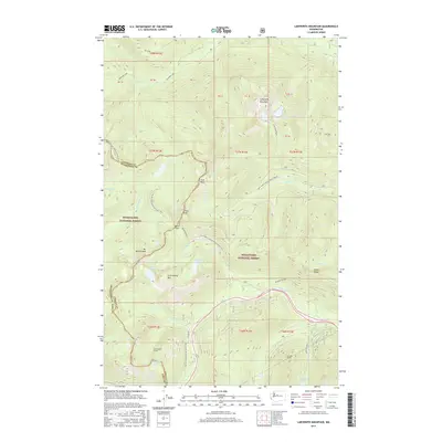
2017 Map of Labyrinth Mountain
USGS Topo · Published 2017About this map
Labyrinth Mountain and the high alpine ridges of the Cascades dominate this 2017 survey at the intersection of King, Chelan, and Snohomish counties. The landscape is defined by its engineering history and recreational paths, most notably the subterranean path of the Cascade Tunnel and its predecessor, the Old Cascade Tunnel. These landmarks reflect the difficult passage through the mountains that once challenged the Great Northern Railway.
Find a feature on this map
54 named features on this map. Tap any name to fly to it.
Don’t see what you’re looking for? This feature index may not catch every label — zoom into the map to look around manually.
Map Details
Editions of this 2017 Labyrinth Mountain Map
This is the sole edition of this map. No revisions or reprints were ever made.
Other maps of this area

1901 · Chiwaukum
USGS Topo · 1:125,000

1902 · Skykomish
USGS Topo · 1:125,000

1904 · Chiwaukum
USGS Topo · 1:125,000

1905 · Skykomish
USGS Topo · 1:125,000

1957 · Wenatchee
USGS Topo · 1:250,000

1965 · Captain Point
USGS Topo · 1:24,000

1965 · Chiwaukum Mts
USGS Topo · 1:62,500

1965 · Stevens Pass
USGS Topo · 1:24,000

1965 · Wenatchee Lake
USGS Topo · 1:62,500

1965 · Poe Mountain
USGS Topo · 1:24,000