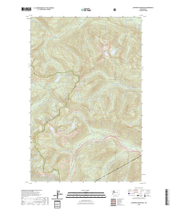
2023 Map of Labyrinth Mountain
USGS Topo · Published 2023About this map
The Henry M Jackson Wilderness dominates this high-elevation landscape where the Pacific Crest National Scenic Trl winds through the jagged terrain of the Cascade Range. This modern topographic study reveals a dense network of glacial basins and alpine summits, including the prominent Labyrinth Mtn and Lichtenberg Mtn. The hydrology of the region is defined by remote water bodies such as Minotaur Lake, Lake Valhalla, and Lichtenwasser Lake, which feed into steep drainages like Nason Creek and the Rapid River.
Find a feature on this map
41 named features on this map. Tap any name to fly to it.
Don’t see what you’re looking for? This feature index may not catch every label — zoom into the map to look around manually.
Map Details
Editions of this 2023 Labyrinth Mountain Map
This is the sole edition of this map. No revisions or reprints were ever made.
Other maps of this area

1901 · Chiwaukum
USGS Topo · 1:125,000

1902 · Skykomish
USGS Topo · 1:125,000

1904 · Chiwaukum
USGS Topo · 1:125,000

1905 · Skykomish
USGS Topo · 1:125,000

1957 · Wenatchee
USGS Topo · 1:250,000

1965 · Captain Point
USGS Topo · 1:24,000

1965 · Chiwaukum Mts
USGS Topo · 1:62,500

1965 · Stevens Pass
USGS Topo · 1:24,000

1965 · Wenatchee Lake
USGS Topo · 1:62,500

1965 · Poe Mountain
USGS Topo · 1:24,000