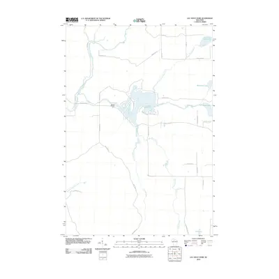
2010 Map of Lac Sault Dore
USGS Topo · Published 2010About this map
Lac Sault Dore 272 dominates this northern Wisconsin landscape, formed by the impoundment of the Elk River at the Murray 2WP375 Dam. This aquatic network is the central geographic feature of the area, where the Elk River meets the South Fork Flambeau River in a complex of wetlands and tributaries. The map details a transition from riverine systems to glacial lakes, including Crane and Chase Lake and Mcllquham Lake in the eastern portion of the quadrangle.
Find a feature on this map
32 named features on this map. Tap any name to fly to it.
Don’t see what you’re looking for? This feature index may not catch every label — zoom into the map to look around manually.
Map Details
Editions of this 2010 Lac Sault Dore Map
This is the sole edition of this map. No revisions or reprints were ever made.
Other maps of this area

1941 · Park Falls
USGS Topo · 1:48,000

1941 · Kennan
USGS Topo · 1:48,000

1941 · Kennedy
USGS Topo · 1:48,000

1941 · Phillips
USGS Topo · 1:48,000

1943 · Park Falls
USGS Topo · 1:48,000

1943 · Philliips
USGS Topo · 1:48,000

1945 · Kennedy
USGS Topo · 1:48,000

1945 · Kennan
USGS Topo · 1:48,000

1947 · Park Falls
USGS Topo · 1:48,000

1953 · Rice Lake
USGS Topo · 1:250,000