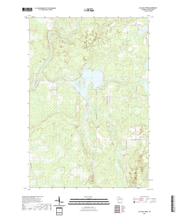
2022 Map of Lac Sault Dore
USGS Topo · Published 2022About this map
The South Fork Flambeau River defines the northwestern corner of this Price County landscape, winding through a complex network of wetlands and small tributaries. Central to the area is Lac Sault Dore, a prominent water body fed by the Elk River and surrounded by a grid of local access roads like W Island Rd and S Sod Lake Rd. The mapping reflects a region defined by its hydrography, where the movement of water across the terrain dictated the layout of early rural routes.
Find a feature on this map
50 named features on this map. Tap any name to fly to it.
Don’t see what you’re looking for? This feature index may not catch every label — zoom into the map to look around manually.
Map Details
Editions of this 2022 Lac Sault Dore Map
This is the sole edition of this map. No revisions or reprints were ever made.
Other maps of this area

1941 · Park Falls
USGS Topo · 1:48,000

1941 · Kennan
USGS Topo · 1:48,000

1941 · Kennedy
USGS Topo · 1:48,000

1941 · Phillips
USGS Topo · 1:48,000

1943 · Park Falls
USGS Topo · 1:48,000

1943 · Philliips
USGS Topo · 1:48,000

1945 · Kennedy
USGS Topo · 1:48,000

1945 · Kennan
USGS Topo · 1:48,000

1947 · Park Falls
USGS Topo · 1:48,000

1953 · Rice Lake
USGS Topo · 1:250,000