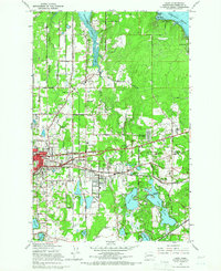
1959 Map of Lacey
USGS Topo · Published 1966About this map
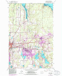
Lacey and the eastern fringes of Olympia appear in this mid-century topographic record as a growing residential and educational hub between the fingers of Puget Sound. The campus of St Martins College sits at the heart of the community, surrounded by several newly established local schools like North Thurston High Sch and Lydia Hawk Sch. The landscape is defined by the complex hydrology of the South Sound, where Henderson Inlet and Woodward Bay cut into the northern timberlands, while the southern half of the quadrangle is dotted with glacial kettle lakes such as Long Lake, Hicks Lake, and Patterson Lake.
Find a feature on this map
73 named features on this map. Tap any name to fly to it.
Don’t see what you’re looking for? This feature index may not catch every label — zoom into the map to look around manually.
Map Details
Editions of this 1959 Lacey Map
6 editions found
Other maps of this area
1916 · Chehalis
USGS Topo · 1:125,000
1937 · Olympia
USGS Topo · 1:62,500
1940 · Tenino
USGS Topo · 1:62,500
1940 · Anderson Island
USGS Topo · 1:62,500
1944 · Tenino
USGS Topo · 1:62,500
1944 · Yelm
USGS Topo · 1:62,500
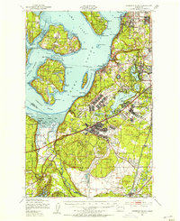
1948 · Anderson Island
USGS Topo · 1:62,500
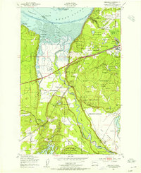
1948 · Nisqually
USGS Topo · 1:24,000
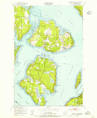
1948 · Anderson Island
USGS Topo · 1:24,000
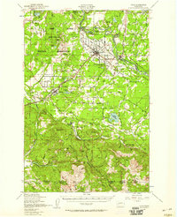
1949 · Yelm
USGS Topo · 1:62,500