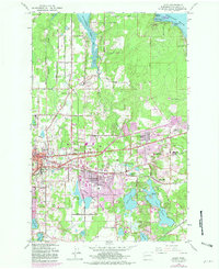
1959 Map of Lacey
USGS Topo · Published 1981About this map
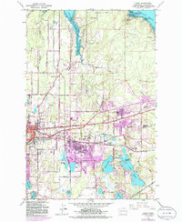
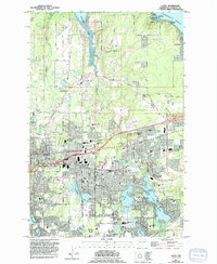
The growing community of Lacey sits at the center of this 1959 survey, showing the transition from rural Thurston County to a suburban hub before the massive expansions of the late 20th century. The landscape is defined by its proximity to the glacial waters of the Nisqually Reach and Henderson Inlet, with the eastern edge of Olympia beginning to push into the neighboring Little Chambers Lake area.
Find a feature on this map
71 named features on this map. Tap any name to fly to it.
Don’t see what you’re looking for? This feature index may not catch every label — zoom into the map to look around manually.
Map Details
Editions of this 1959 Lacey Map
6 editions found
Other maps of this area

1916 · Chehalis
USGS Topo · 1:125,000

1937 · Olympia
USGS Topo · 1:62,500

1940 · Tenino
USGS Topo · 1:62,500

1940 · Anderson Island
USGS Topo · 1:62,500

1944 · Tenino
USGS Topo · 1:62,500

1944 · Yelm
USGS Topo · 1:62,500

1948 · Anderson Island
USGS Topo · 1:62,500

1948 · Nisqually
USGS Topo · 1:24,000

1948 · Anderson Island
USGS Topo · 1:24,000

1949 · Yelm
USGS Topo · 1:62,500