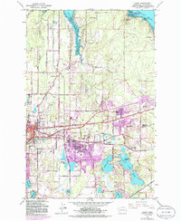
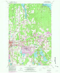
1959 Map of Lacey
USGS Topo · Published 1986About this map
Lacey and the outskirts of Olympia are mapped during a period of significant suburban expansion, where the traditional landscapes of Little Chambers Prairie meet the evolving urban core. The purple revisions on this sheet highlight the growth around St Martins College and the establishment of residential clusters like Thompson Place and Beachcrest. The map provides a detailed look at the interface between the dense waters of Henderson Inlet and the inland freshwater chain including Hicks Lake, Long Lake, and Pattison Lake.
Find a feature on this map
88 named features on this map. Tap any name to fly to it.
Don’t see what you’re looking for? This feature index may not catch every label — zoom into the map to look around manually.
Map Details
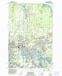
Editions of this 1959 Lacey Map
6 editions found
Other maps of this area

1916 · Chehalis
USGS Topo · 1:125,000

1937 · Olympia
USGS Topo · 1:62,500

1940 · Tenino
USGS Topo · 1:62,500

1940 · Anderson Island
USGS Topo · 1:62,500

1944 · Tenino
USGS Topo · 1:62,500

1944 · Yelm
USGS Topo · 1:62,500

1948 · Anderson Island
USGS Topo · 1:62,500

1948 · Nisqually
USGS Topo · 1:24,000

1948 · Anderson Island
USGS Topo · 1:24,000

1949 · Yelm
USGS Topo · 1:62,500