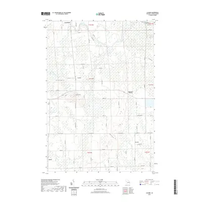
2019 Map of Lachine
USGS Topo · Published 2019About this map
The Thunder Bay River winds through the northern reaches of this landscape, anchoring a region defined by its rural intersections and early 21st-century agricultural character. Centered on the settlement of Lachine, the map reveals a network of section roads connecting outlying communities such as Long Rapids and Herron. For those researching local lineages, Green Cem and Herron Saint Rose's Cem provide key geographical touchpoints for family history.
Find a feature on this map
65 named features on this map. Tap any name to fly to it.
Don’t see what you’re looking for? This feature index may not catch every label — zoom into the map to look around manually.
Map Details
Editions of this 2019 Lachine Map
This is the sole edition of this map. No revisions or reprints were ever made.
Other maps of this area

1954 · Tawas City
USGS Topo · 1:250,000

1954 · Alpena
USGS Topo · 1:250,000

1955 · Hillman
USGS Topo · 1:62,500

1957 · Alpena
USGS Topo · 1:250,000

1958 · Alpena
USGS Topo · 1:250,000

1958 · Tawas City
USGS Topo · 1:250,000

1969 · Alpena
USGS Topo · 1:250,000

1971 · Lake Winyah
USGS Topo · 1:24,000

1971 · Long Lake West
USGS Topo · 1:24,000

1971 · Polaski
USGS Topo · 1:24,000