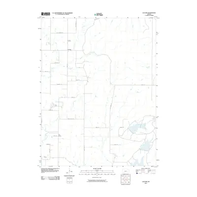
2010 Map of Laclede
USGS Topo · Published 2010About this map
Vermillion Creek meanders through this portion of Pottawatomie County, defining the agricultural landscape around the small settlement of Laclede. The area is characterized by a network of rural roads that often bear the names of local families and early transit routes, such as Old Townsend Rd, Tannerville Rd, and Conestoga Rd. These names provide a direct link to the lineage and movement of people across this prairie terrain.
Find a feature on this map
29 named features on this map. Tap any name to fly to it.
Don’t see what you’re looking for? This feature index may not catch every label — zoom into the map to look around manually.
Map Details
Editions of this 2010 Laclede Map
This is the sole edition of this map. No revisions or reprints were ever made.
Other maps of this area

1889 · Wamego
USGS Topo · 1:125,000

1894 · Wamego
USGS Topo · 1:125,000

1953 · Wamego
USGS Topo · 1:24,000

1953 · Belvue
USGS Topo · 1:24,000

1953 · St Marys
USGS Topo · 1:24,000

1955 · Manhattan
USGS Topo · 1:250,000

1956 · Manhattan
USGS Topo · 1:250,000

1957 · Manhattan
USGS Topo · 1:250,000
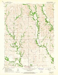
1964 · Louisville
USGS Topo · 1:24,000
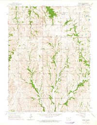
1964 · Onaga NE
USGS Topo · 1:24,000