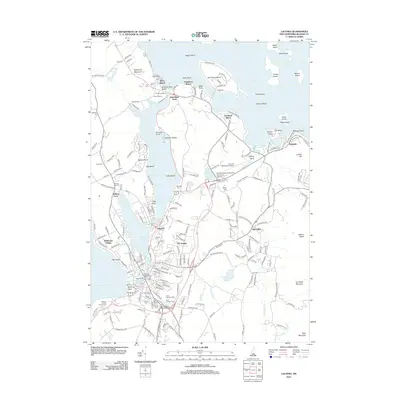
2012 Map of Laconia
USGS Topo · Published 2012About this map
Lake Winnipesaukee and its southern extensions dominate this portrait of the Lakes Region, showing a landscape defined by waterfront leisure and historic industry. In the southern half, the city's industrial roots remain visible at the Belknap Mill and Busiel-Seeburg Mill near the channel connecting Opechee Bay and Lake Winnisquam. This 2012 survey illustrates the concentration of local infrastructure, from the Laconia Municipal Airport to educational hubs like Lakes Region Community College. Numerous burial grounds, including Bayside Cem, Union Cem, and Saint Lamberts Cem, are well-documented for genealogical research. To the north, the focus shifts to the shoreline communities of Weirs Beach and Dockham Shore, where local landmarks like Endicott Park Beach and the numerous islands of the lake indicate the area's long-standing role as a premier recreational destination.
Find a feature on this map
221 named features on this map. Tap any name to fly to it.
Don’t see what you’re looking for? This feature index may not catch every label — zoom into the map to look around manually.
Map Details
Editions of this 2012 Laconia Map
This is the sole edition of this map. No revisions or reprints were ever made.
Other maps of this area

1909 · Winnepesaukee
USGS Topo · 1:62,500

1919 · Gilmanton
USGS Topo · 1:62,500

1925 · Holderness
USGS Topo · 1:62,500

1927 · Penacook
USGS Topo · 1:62,500

1927 · Gilmanton
USGS Topo · 1:62,500

1927 · Holderness
USGS Topo · 1:62,500

1949 · Portland
USGS Topo · 1:250,000

1956 · Winnipesaukee
USGS Topo · 1:62,500

1956 · Penacook
USGS Topo · 1:62,500

1956 · Holderness
USGS Topo · 1:62,500