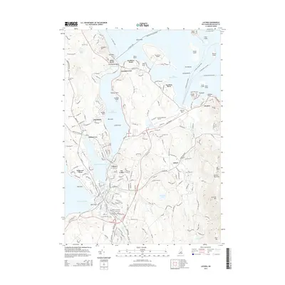
2015 Map of Laconia
USGS Topo · Published 2015About this map
Lake Winnipesaukee and its complex shoreline dominate this 2015 study of Belknap County, where the transition from open water to dense settlement is defined by seasonal resorts and established neighborhoods. The northern reach is characterized by its numerous islands, including Governors Island and the cluster of The Witches, while the mainland features the concentrated village of Weirs Beach and its iconic Weirs Channel. This area is a hub of maritime movement, with ferry routes like the M/V Sophie C Ferry and several Mink Island and Round Island services connecting the mainland to remote island outposts.
Find a feature on this map
73 named features on this map. Tap any name to fly to it.
Don’t see what you’re looking for? This feature index may not catch every label — zoom into the map to look around manually.
Map Details
Editions of this 2015 Laconia Map
This is the sole edition of this map. No revisions or reprints were ever made.
Other maps of this area

1909 · Winnepesaukee
USGS Topo · 1:62,500

1919 · Gilmanton
USGS Topo · 1:62,500

1925 · Holderness
USGS Topo · 1:62,500

1927 · Penacook
USGS Topo · 1:62,500

1927 · Gilmanton
USGS Topo · 1:62,500

1927 · Holderness
USGS Topo · 1:62,500

1949 · Portland
USGS Topo · 1:250,000

1956 · Winnipesaukee
USGS Topo · 1:62,500

1956 · Penacook
USGS Topo · 1:62,500

1956 · Holderness
USGS Topo · 1:62,500