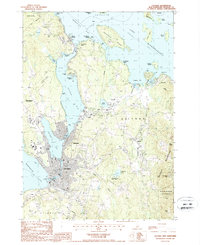
1987 Map of Laconia
USGS Topo · Published 1987About this map
The central Lakes Region of New Hampshire, including the city of Laconia and the industrial-turned-residential waterfront of Lakeport, is defined by its intricate shoreline along Lake Winnipesaukee. This 1987 survey documents the area's transition into a premier recreation hub, showing the concentration of seasonal and year-round activity at Weirs Beach and Glendale. The landscape is dominated by large bodies of water like Paugus Bay and Opechee Bay, which are framed by the rising elevations of the Belknap Mountains to the east.
Find a feature on this map
48 named features on this map. Tap any name to fly to it.
Don’t see what you’re looking for? This feature index may not catch every label — zoom into the map to look around manually.
Map Details
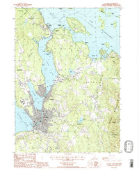
Editions of this 1987 Laconia Map
2 editions found
Other maps of this area

1909 · Winnepesaukee
USGS Topo · 1:62,500

1919 · Gilmanton
USGS Topo · 1:62,500

1925 · Holderness
USGS Topo · 1:62,500

1927 · Penacook
USGS Topo · 1:62,500

1927 · Gilmanton
USGS Topo · 1:62,500

1927 · Holderness
USGS Topo · 1:62,500

1949 · Portland
USGS Topo · 1:250,000

1956 · Winnipesaukee
USGS Topo · 1:62,500

1956 · Penacook
USGS Topo · 1:62,500

1956 · Holderness
USGS Topo · 1:62,500