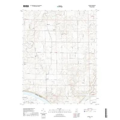
2019 Map of Laconia
USGS Topo · Published 2019About this map
Laconia serves as the central hub of this Harrison County landscape, situated atop the Mitchell Plain just north of a sharp bend in the Ohio River. The territory is marked by a high density of small rural burial grounds, including the Saint Michaels Catholic Cem and the Beswick Cem, reflecting the deep-rooted family settlements of this river-border region. The terrain transitions from the upland flats near Dogwood to the more dissected drainage basins of Buck Creek and Mosquito Creek as they approach the state line. At the southern edge, the small community of New Boston sits near the riverbanks, overshadowed by prominent landforms such as Hog Ridge and Hogback Ridge. This 2019 survey documents a landscape where agricultural traditions and topographic landmarks like the Boundary Mound remain the primary identifiers of the local geography.
Find a feature on this map
79 named features on this map. Tap any name to fly to it.
Don’t see what you’re looking for? This feature index may not catch every label — zoom into the map to look around manually.
Map Details
Editions of this 2019 Laconia Map
This is the sole edition of this map. No revisions or reprints were ever made.
Other maps of this area

1909 · Kosmosdale
USGS Topo · 1:48,000

1912 · Kosmosdale
USGS Topo · 1:62,500

1931 · Corydon
USGS Topo · 1:62,500

1936 · Vine Grove
USGS Topo · 1:62,500

1941 · Ekron
USGS Topo · 1:62,500

1943 · Vine Grove
USGS Topo · 1:62,500

1944 · Corydon West
USGS Topo · 1:24,000

1946 · Rock Haven
USGS Topo · 1:24,000

1946 · Fort Knox
USGS Topo · 1:24,000

1946 · Vine Grove
USGS Topo · 1:62,500