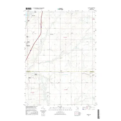
2017 Map of Lacota
USGS Topo · Published 2017About this map
The Lake Michigan shoreline at Cedar Bluff and Miami Park defines the western edge of this 2017 survey, where coastal development transitions into the agricultural interior of Van Buren and Allegan counties. The landscape is structured by a grid of rural roads and the diagonal path of the Kal-Haven Trail State Park, which follows a former railroad corridor through the small settlements of Kibbie and Lacota. This rails-to-trails conversion preserves a historic transportation artery that once linked the inland farming communities to the lake ports.
Find a feature on this map
37 named features on this map. Tap any name to fly to it.
Don’t see what you’re looking for? This feature index may not catch every label — zoom into the map to look around manually.
Map Details
Editions of this 2017 Lacota Map
This is the sole edition of this map. No revisions or reprints were ever made.
Other maps of this area

1927 · Bangor
USGS Topo · 1:62,500

1927 · South Haven
USGS Topo · 1:62,500

1928 · Fennville
USGS Topo · 1:62,500

1930 · South Haven
USGS Topo · 1:62,500

1931 · Fennville
USGS Topo · 1:62,500

1931 · Bangor
USGS Topo · 1:62,500

1943 · South Haven
USGS Topo · 1:62,500

1943 · Bangor
USGS Topo · 1:62,500

1958 · Racine
USGS Topo · 1:250,000

1962 · Racine
USGS Topo · 1:250,000
Featured Places
- South Haven, MI
- Geneva Township, MI
- Maple Grove Corners, MI
- Glenn Haven Shores, MI
- South Haven Charter Township, MI