2023 Map of Lacota
USGS Topo · Published 2023About this map
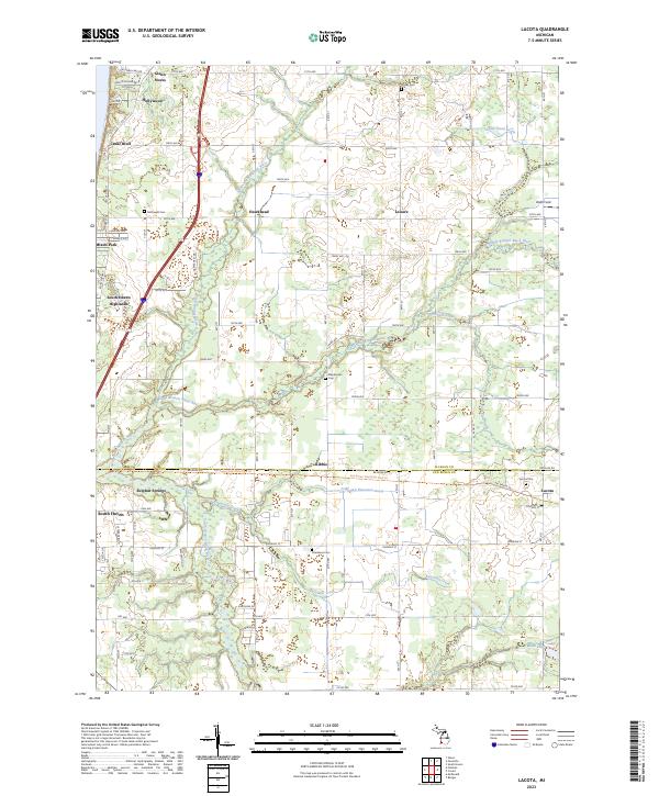
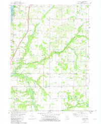
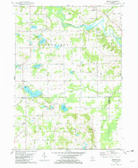
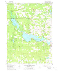
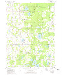
Lake Michigan borders the western edge of this coastal landscape, where the shoreline is punctuated by early resort settlements such as Miami Park, South Haven Highlands, and Glenn. The interior transitions from lakeside communities to an agricultural and wooded grid defined by numerous drainages, including the North Branch Black River, Middle Branch Black River, and Butternut Creek. Tracing the border between Allegan Co and Van Buren Co, the Kal-haven Trail State Park Trl follows a historical transportation corridor through the hamlets of Kibbie and Lacota. For genealogists, the map is particularly rich with small burial grounds like McDowell Cem, Stuller Cem, and Stephenson Cem which serve as central points for local family histories. This survey captures a mix of seasonal lakefront living and established inland farming communities such as Hawkhead and Leisure.
Find a feature on this map
74 named features on this map. Tap any name to fly to it.
Don’t see what you’re looking for? This feature index may not catch every label — zoom into the map to look around manually.
Map Details
Editions of this 2023 Lacota Map
This is the sole edition of this map. No revisions or reprints were ever made.
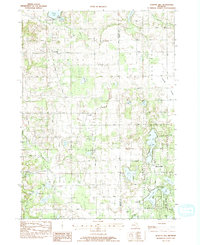
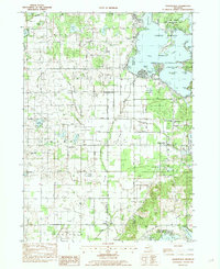
Historical Maps of Kibbie Through Time
20 maps found
1981 Burnips
Allegan County, MI

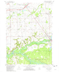
1981 Glenn
Allegan County, MI
1981 Hamilton East
Allegan County, MI
1981 Hamilton West
Allegan County, MI
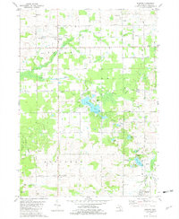
1981 Lacota
Allegan County, MI
1981 Merson
Allegan County, MI
1981 Millgrove
Allegan County, MI
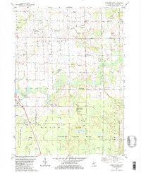
1981 Pullman
Allegan County, MI
1982 Bowens Mill
Allegan County, MI
1982 Orangeville
Allegan County, MI
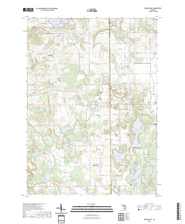
2023 Bowens Mill
Allegan County, MI
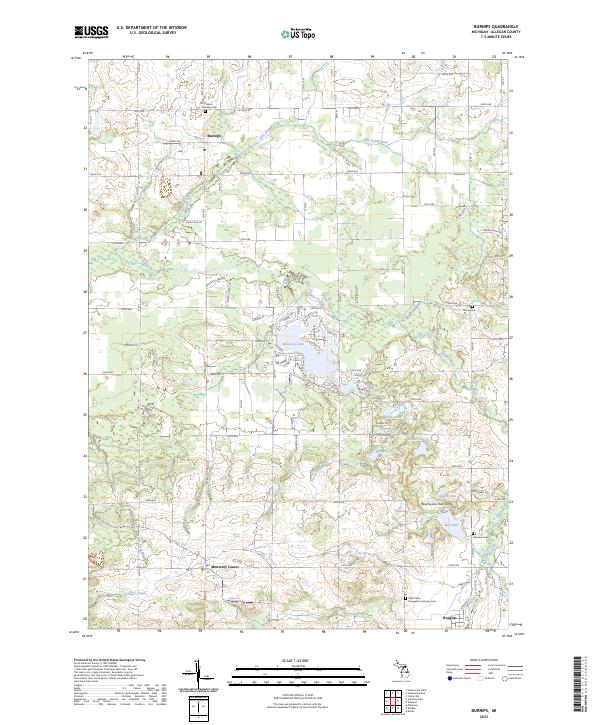
2023 Burnips
Allegan County, MI
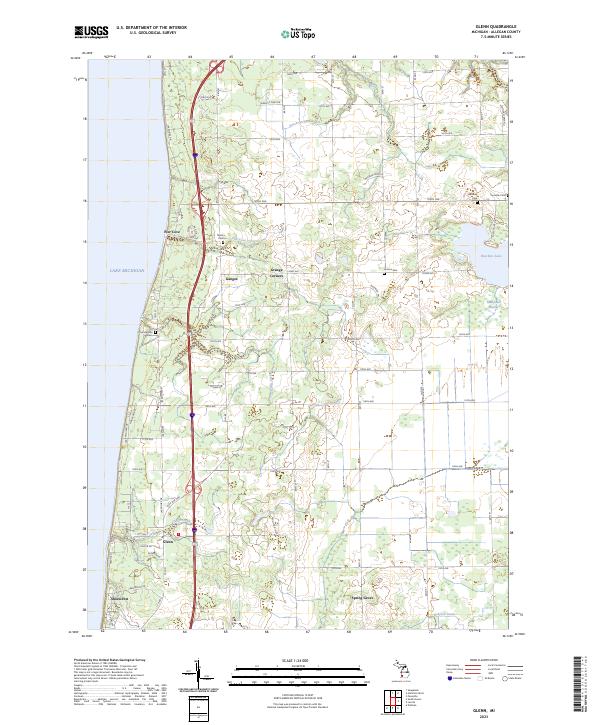
2023 Glenn
Allegan County, MI
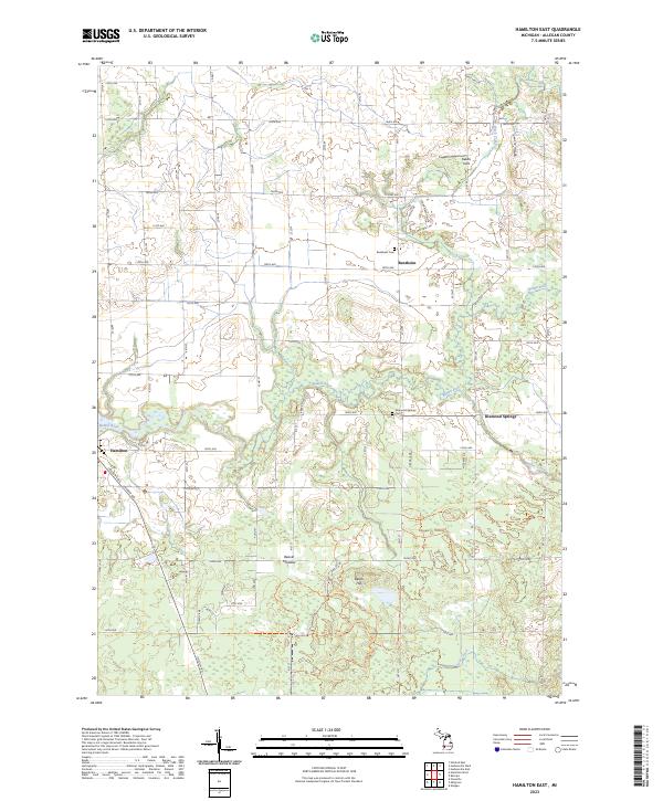
2023 Hamilton East
Allegan County, MI

2023 Hamilton West
Allegan County, MI
2023 Lacota
Allegan County, MI
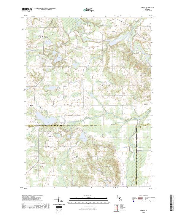
2023 Merson
Allegan County, MI
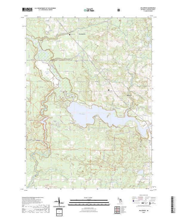
2023 Millgrove
Allegan County, MI
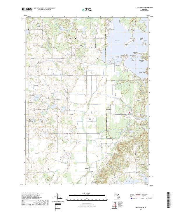
2023 Orangeville
Allegan County, MI
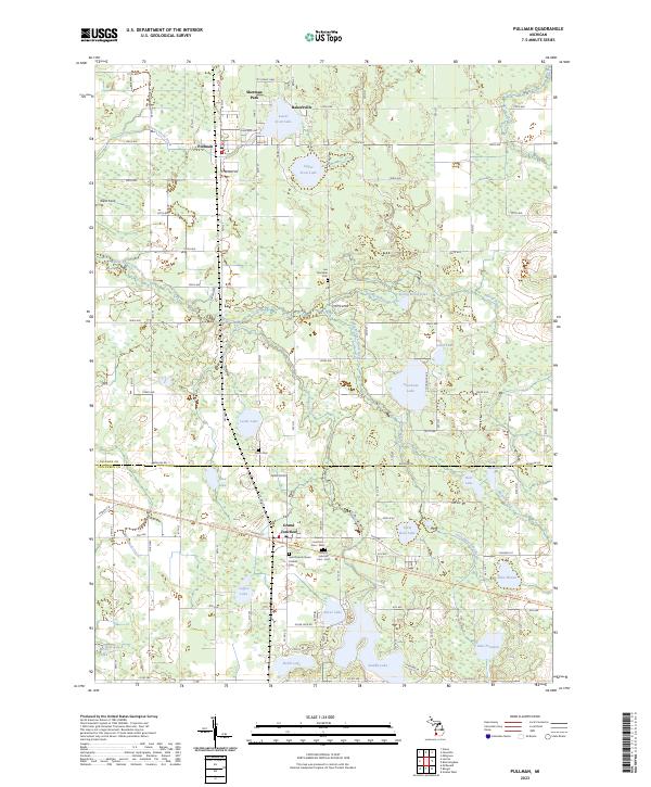
2023 Pullman
Allegan County, MI
Featured Locations
- Geneva Township, MI
- South Haven, MI
- South Haven Charter Township, MI
- Casco Township, MI
- Cedar Bluff Park, Casco Township