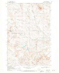
1969 Map of Ladner
USGS Topo · Published 1971About this map
The settlement of Ladner serves as the small hub of this Harding County landscape, situated on a high plateau just south of Table Mountain. The terrain is defined by dramatic erosional features and broad drainage systems, including Pleasant Valley and the steep slopes of Mt McKinley. By the late 1960s, the local economy shows a clear shift toward energy extraction with the development of the Buffalo Oil Field, where numerous oil wells and drill holes dot the prairie south of Bull Creek.
Find a feature on this map
28 named features on this map. Tap any name to fly to it.
Don’t see what you’re looking for? This feature index may not catch every label — zoom into the map to look around manually.
Map Details
Editions of this 1969 Ladner Map
This is the sole edition of this map. No revisions or reprints were ever made.
Other maps of this area
1935 · Buffalo
USGS Topo · 1:125,000
1954 · Lemmon
USGS Topo · 1:250,000
1957 · Lemmon
USGS Topo · 1:250,000
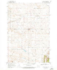
1969 · Ladner NE
USGS Topo · 1:24,000
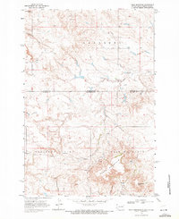
1969 · Table Mountain
USGS Topo · 1:24,000
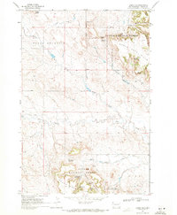
1969 · Ladner SE
USGS Topo · 1:24,000
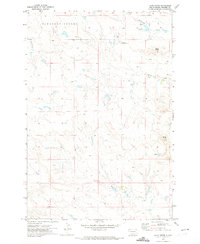
1971 · Lahti Butte
USGS Topo · 1:24,000
1971 · McKenzie Butte
USGS Topo · 1:24,000
1973 · Gallup Creek
USGS Topo · 1:24,000
1978 · Chimney Butte
USGS Topo · 1:24,000