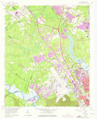
1958 Map of Ladson
USGS Topo · Published 1973About this map
Charleston Air Force Base and the Charleston Municipal Airport dominate the central landscape of this coastal South Carolina region during a period of rapid suburban expansion. The transition from industrial and plantation history to modern infrastructure is evident near the Ashley River, where Magnolia Gardens and Castle Cem sit in proximity to a modern Strip Mine and the Ashley Phosphate works. This 1958 survey, updated with 1971 aerial data, captures the growing residential footprints of Hanahan, Ladson, and North Charleston as they spread toward the Goose Creek Reservoir.
Find a feature on this map
70 named features on this map. Tap any name to fly to it.
Don’t see what you’re looking for? This feature index may not catch every label — zoom into the map to look around manually.
Map Details
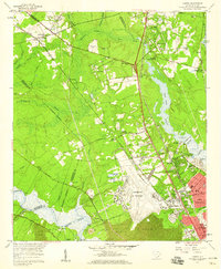
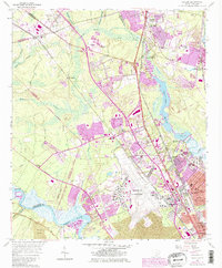
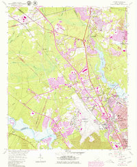
Editions of this 1958 Ladson Map
4 editions found
Other maps of this area

1919 · Ladson
USGS Topo · 1:21,120

1919 · Johns Island
USGS Topo · 1:21,120

1919 · Summerville
USGS Topo · 1:48,000

1919 · Cordesville
USGS Topo · 1:48,000

1919 · Melgrove
USGS Topo · 1:21,120

1919 · Charleston
USGS Topo · 1:21,120

1920 · Ravenels
USGS Topo · 1:62,500

1920 · Summerville
USGS Topo · 1:62,500

1940 · Melgrove
USGS Topo · 1:24,000

1943 · Ladson
USGS Topo · 1:24,000