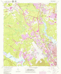
1958 Map of Ladson
USGS Topo · Published 1980About this map
The Ashley River corridor and the expanding suburban landscape of the South Carolina Lowcountry are captured in this 1958 survey, updated with late-1970s urban growth. The map illustrates the transition from the river’s historical estates like Runnymede and the world-renowned Magnolia Gardens to the mid-century industrial and military development. Centered on the sprawling Charleston Air Force Base, the sheet traces the rise of residential clusters in Hanahan, Berkeley Hills, and North Charleston.
Find a feature on this map
64 named features on this map. Tap any name to fly to it.
Don’t see what you’re looking for? This feature index may not catch every label — zoom into the map to look around manually.
Map Details
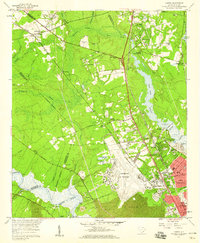
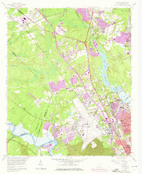
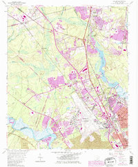
Editions of this 1958 Ladson Map
4 editions found
Other maps of this area

1919 · Ladson
USGS Topo · 1:21,120

1919 · Johns Island
USGS Topo · 1:21,120

1919 · Summerville
USGS Topo · 1:48,000

1919 · Cordesville
USGS Topo · 1:48,000

1919 · Melgrove
USGS Topo · 1:21,120

1919 · Charleston
USGS Topo · 1:21,120

1920 · Ravenels
USGS Topo · 1:62,500

1920 · Summerville
USGS Topo · 1:62,500

1940 · Melgrove
USGS Topo · 1:24,000

1943 · Ladson
USGS Topo · 1:24,000