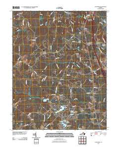
2010 Map of Ladysmith
USGS Topo · Published 2010About this map
Lake Landor and the surrounding residential developments represent a significant 21st-century landscape transition in this part of Caroline County. The geography is defined by a dense network of tributaries including the Matta River, Motto River, and South River, which historically supported industry at sites like Colemans Mill and Temples Millpond. This 2010 survey highlights a pattern of crossroads settlements and family-named landmarks such as Blades Corner, Ann Wrights Corner, and Wallers Corner. For genealogists, the map is particularly useful for locating community focal points including Beulah Cemetery, Bethany Cemetery, and Rehoboth Cemetery. Modern infrastructure is anchored by the community of Ladysmith and the primary north-south corridor, illustrating the area's evolution from a river-based economy to a connected suburban region.
Find a feature on this map
78 named features on this map. Tap any name to fly to it.
Don’t see what you’re looking for? This feature index may not catch every label — zoom into the map to look around manually.
Map Details
Editions of this 2010 Ladysmith Map
This is the sole edition of this map. No revisions or reprints were ever made.
Other maps of this area

1887 · Spottsylvania
USGS Topo · 1:125,000

1889 · Fredericksburg
USGS Topo · 1:125,000

1890 · Goochland
USGS Topo · 1:125,000

1892 · Fredericksburg
USGS Topo · 1:125,000

1892 · Spottsylvania
USGS Topo · 1:125,000

1892 · Goochland
USGS Topo · 1:125,000

1894 · Fredericksburg
USGS Topo · 1:125,000

1918 · Doswell
USGS Topo · 1:62,500

1942 · Woodford
USGS Topo · 1:31,680

1942 · Guinea
USGS Topo · 1:31,680