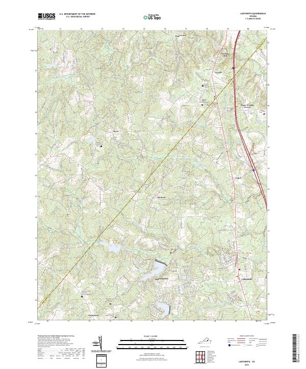
2022 Map of Ladysmith
USGS Topo · Published 2022About this map
The boundary between Spotsylvania and Caroline counties defines the northern reaches of this rural landscape, where established family names and traditional church sites anchor the community. Small crossroads settlements like Marye, Blantons, and Cedon are connected by a network of local routes such as Partlow Rd and Chilesburg Rd. The terrain is deeply integrated with the local hydrography, featuring the winding paths of the Mat River, Matta River, and South River.
Find a feature on this map
132 named features on this map. Tap any name to fly to it.
Don’t see what you’re looking for? This feature index may not catch every label — zoom into the map to look around manually.
Map Details
Editions of this 2022 Ladysmith Map
This is the sole edition of this map. No revisions or reprints were ever made.
Other maps of this area

1887 · Spottsylvania
USGS Topo · 1:125,000

1889 · Fredericksburg
USGS Topo · 1:125,000

1890 · Goochland
USGS Topo · 1:125,000

1892 · Fredericksburg
USGS Topo · 1:125,000

1892 · Spottsylvania
USGS Topo · 1:125,000

1892 · Goochland
USGS Topo · 1:125,000

1894 · Fredericksburg
USGS Topo · 1:125,000

1918 · Doswell
USGS Topo · 1:62,500

1942 · Woodford
USGS Topo · 1:31,680

1942 · Guinea
USGS Topo · 1:31,680