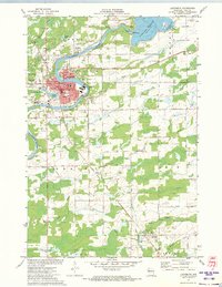
1971 Map of Ladysmith
USGS Topo · Published 1973About this map
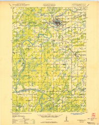
Ladysmith sits at the heart of this 1971 Rusk County survey, anchored by the winding Flambeau River and the industrial activity of the Soo Line railroad. The city's educational and civic infrastructure is well-defined, from Mt Senario College on the western edge to several local campuses like Brooklyn Sch and the Courthouse Jr High Sch. To the northeast, the Dairyland Reservoir dominates the landscape near Groothousen Bay, where a powerplant and substation mark the river's utility.
Find a feature on this map
53 named features on this map. Tap any name to fly to it.
Don’t see what you’re looking for? This feature index may not catch every label — zoom into the map to look around manually.
Map Details
Editions of this 1971 Ladysmith Map
This is the sole edition of this map. No revisions or reprints were ever made.
Other maps of this area
1944 · Exeland
USGS Topo · 1:48,000
1945 · Ingram
USGS Topo · 1:48,000
1947 · Exeland
USGS Topo · 1:48,000
1947 · Ingram
USGS Topo · 1:48,000
1947 · Sheldon
USGS Topo · 1:48,000
1948 · Ladysmith
USGS Topo · 1:48,000
1949 · Sheldon
USGS Topo · 1:48,000
1950 · Ladysmith
USGS Topo · 1:48,000

1953 · Rice Lake
USGS Topo · 1:250,000

1959 · Rice Lake
USGS Topo · 1:250,000