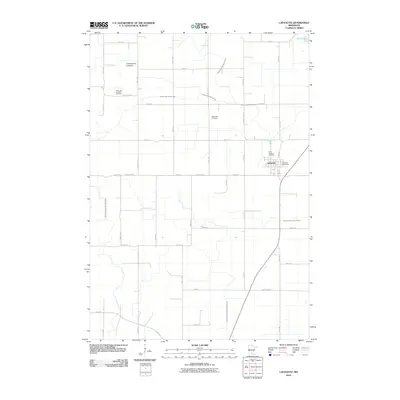
2010 Map of Lafayette
USGS Topo · Published 2010About this map
Lafayette serves as the primary hub of this Nicollet County landscape, where the Lafayette Post Office and Saint Gregory Cemetery anchor the local community. The region's agricultural character is defined by an extensive water management network designed to drain the prairie, featuring numerous engineered waterways such as Judicial Ditch Number One, County Ditch Number Eightyfive, and County Ditch Number Seventyseven. These ditches crisscross the section lines, reflecting a century of effort to reclaim land for farming.
Find a feature on this map
30 named features on this map. Tap any name to fly to it.
Don’t see what you’re looking for? This feature index may not catch every label — zoom into the map to look around manually.
Map Details
Editions of this 2010 Lafayette Map
This is the sole edition of this map. No revisions or reprints were ever made.
Other maps of this area

1953 · New Ulm
USGS Topo · 1:250,000

1957 · New Ulm
USGS Topo · 1:250,000

1958 · New Ulm
USGS Topo · 1:250,000

1958 · Winthrop
USGS Topo · 1:62,500

1964 · Bernadotte
USGS Topo · 1:24,000

1964 · New Ulm
USGS Topo · 1:24,000

1964 · Courtland
USGS Topo · 1:24,000

1964 · Essig
USGS Topo · 1:24,000

1964 · Lafayette
USGS Topo · 1:24,000

1964 · St George
USGS Topo · 1:24,000