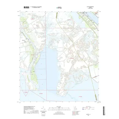
2018 Map of Lafitte
USGS Topo · Published 2018About this map
The low-lying wetlands of Jefferson Parish and Plaquemines Parish converge at the Barataria Bay Waterway, where the settlement of Lafitte serves as a hub for the bayou-bound landscape. This modern survey illustrates the complex hydraulic network of the Mississippi River Delta, including man-made channels like the California-Company Canal and Ollie Canal that cut through the surrounding marsh. For local historians, the concentration of family and community burial grounds, such as Coulon Cem and Adams Cem, provides a map of established lineage within the Barataria and Ile De Barataria area.
Find a feature on this map
59 named features on this map. Tap any name to fly to it.
Don’t see what you’re looking for? This feature index may not catch every label — zoom into the map to look around manually.
Map Details
Editions of this 2018 Lafitte Map
This is the sole edition of this map. No revisions or reprints were ever made.
Other maps of this area

1891 · Pointe a La Hache
USGS Topo · 1:62,500

1891 · New Orleans
USGS Topo · 1:62,500

1892 · Barataria
USGS Topo · 1:62,500

1892 · St. Bernard
USGS Topo · 1:62,500

1892 · Pointe a La Hache
USGS Topo · 1:62,500

1932 · New Orleans SE
USGS Topo · 1:31,680

1932 · New Orleans SW
USGS Topo · 1:31,680

1939 · Pointe a La Hache
USGS Topo · 1:62,500
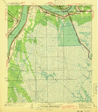
1940 · Belle Chasse
USGS Topo · 1:31,680
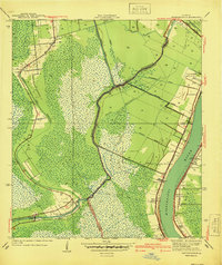
1940 · Bertrandville
USGS Topo · 1:31,680