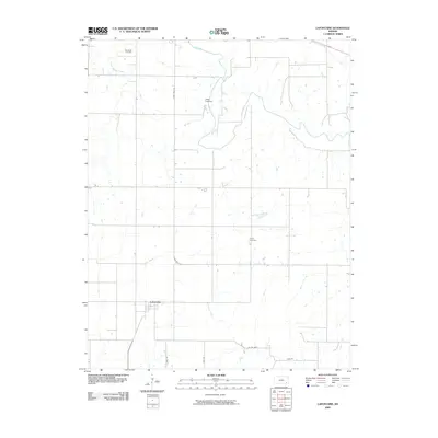
2009 Map of Lafontaine
USGS Topo · Published 2009About this map
The settlement of Lafontaine anchors this Wilson County landscape, positioned where several small drainages converge in the Kansas plains. The geography is defined by the winding course of the Fall River in the northern half of the sheet, supported by a network of smaller waterways including Sycamore Creek, Elm Branch, and East Rainbow Creek. This survey captures the rural character of the region in the early 21st century, showing the established section lines and rural road networks like State Hwy 39 and Co Rd 6600 that connect local homesteads. For those tracing family histories or local landmarks, the map identifies significant local burial grounds such as Bachelder Cemetery in the northwest and Koger Cemetery to the southeast, alongside Camp Crawford, reflecting the community and recreational footprints within this agricultural area.
Find a feature on this map
13 named features on this map. Tap any name to fly to it.
Don’t see what you’re looking for? This feature index may not catch every label — zoom into the map to look around manually.
Map Details
Editions of this 2009 Lafontaine Map
This is the sole edition of this map. No revisions or reprints were ever made.
Other maps of this area

1886 · Fredonia
USGS Topo · 1:125,000

1886 · Independence
USGS Topo · 1:125,000

1894 · Fredonia
USGS Topo · 1:125,000

1894 · Independence
USGS Topo · 1:125,000

1905 · Independence
USGS Topo · 1:125,000

1938 · Fredonia
USGS Topo · 1:62,500

1938 · Altoona
USGS Topo · 1:62,500

1939 · Altoona
USGS Topo · 1:48,000

1939 · Fredonia
USGS Topo · 1:48,000

1942 · Fredonia
USGS Topo · 1:62,500