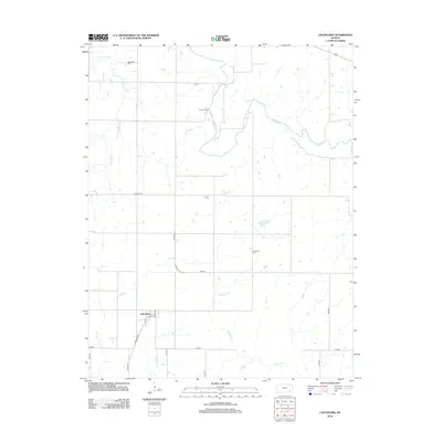
2012 Map of Lafontaine
USGS Topo · Published 2012About this map
Lafontaine serves as the primary settlement hub in this part of Wilson County, situated where Main St and Lafontaine Rd intersect. The landscape is defined by the winding course of the Fall River, which carves through the northern and eastern sections of the quadrangle. This area of Kansas exhibits a highly structured grid of section roads, such as Buxton Rd and Harper Rd, reflecting the enduring influence of the Public Land Survey System on modern local travel. For those tracing family histories, the presence of the Bachelder Cem near W Rainbow Cr and the Cheatham Cem further south provides concrete locations for genealogical research. The map also identifies Camp Crawford, located along a bend in the river, and several smaller tributaries like Sycamore Cr and Elm Br that drain the surrounding agricultural lands.
Find a feature on this map
24 named features on this map. Tap any name to fly to it.
Don’t see what you’re looking for? This feature index may not catch every label — zoom into the map to look around manually.
Map Details
Editions of this 2012 Lafontaine Map
This is the sole edition of this map. No revisions or reprints were ever made.
Other maps of this area

1886 · Fredonia
USGS Topo · 1:125,000

1886 · Independence
USGS Topo · 1:125,000

1894 · Fredonia
USGS Topo · 1:125,000

1894 · Independence
USGS Topo · 1:125,000

1905 · Independence
USGS Topo · 1:125,000

1938 · Fredonia
USGS Topo · 1:62,500

1938 · Altoona
USGS Topo · 1:62,500

1939 · Altoona
USGS Topo · 1:48,000

1939 · Fredonia
USGS Topo · 1:48,000

1942 · Fredonia
USGS Topo · 1:62,500