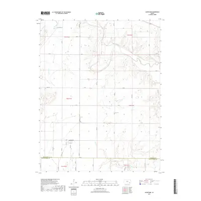
2018 Map of Lafontaine
USGS Topo · Published 2018About this map
Lafontaine serves as the primary settlement center in this region of Wilson County, situated just north of the border with Montgomery County. The landscape is defined by the winding course of the Fall River as it cuts through the northern sections, joined by various tributaries including W Rainbow Cr and E Rainbow Cr. The town's grid, featuring Main St and Olive St, reflects a classic Midwestern rail-era layout, though the tracks themselves have given way to local thoroughfares like 200 Rd. For those researching local family history, the map precisely locates Bachelder Cem in the northwest and Cheatham Cem near the center, providing vital geographic context for late 19th and 20th-century burials. The survey also details the complex drainage system south of town, where Elm Br, Mulberry Cr, and Sycamore Cr converge.
Find a feature on this map
49 named features on this map. Tap any name to fly to it.
Don’t see what you’re looking for? This feature index may not catch every label — zoom into the map to look around manually.
Map Details
Editions of this 2018 Lafontaine Map
This is the sole edition of this map. No revisions or reprints were ever made.
Other maps of this area

1886 · Fredonia
USGS Topo · 1:125,000

1886 · Independence
USGS Topo · 1:125,000

1894 · Fredonia
USGS Topo · 1:125,000

1894 · Independence
USGS Topo · 1:125,000

1905 · Independence
USGS Topo · 1:125,000

1938 · Fredonia
USGS Topo · 1:62,500

1938 · Altoona
USGS Topo · 1:62,500

1939 · Altoona
USGS Topo · 1:48,000

1939 · Fredonia
USGS Topo · 1:48,000

1942 · Fredonia
USGS Topo · 1:62,500