2022 Map of Lafontaine
USGS Topo · Published 2022About this map
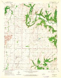
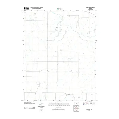
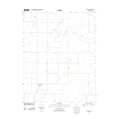
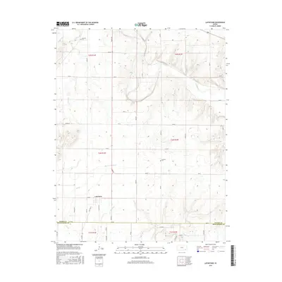
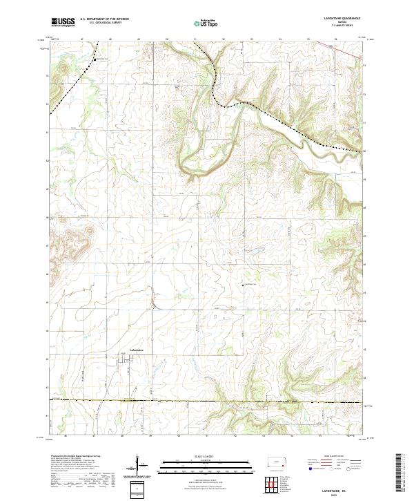
Lafontaine serves as the central hub of this Wilson County landscape, situated where the terrain begins to transition toward the Montgomery County line. The settlement is defined by a traditional grid of streets including Olive St and Grant Rd, positioned just north of the junction between State Hwy 39 and 200 Rd. This map reveals a territory deeply carved by a network of waterways, most notably the meandering Fall River in the northeast and several significant tributaries such as Mulberry Cr and Sycamore Cr that drain the southern fields.
Find a feature on this map
30 named features on this map. Tap any name to fly to it.
Don’t see what you’re looking for? This feature index may not catch every label — zoom into the map to look around manually.
Map Details
Editions of this 2022 Lafontaine Map
This is the sole edition of this map. No revisions or reprints were ever made.
Historical Maps of Lafontaine Through Time
6 maps found