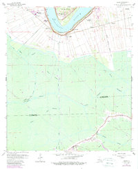
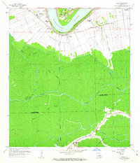
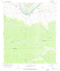
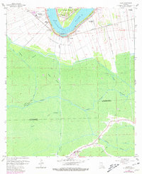
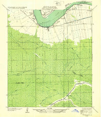
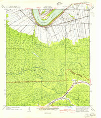
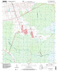
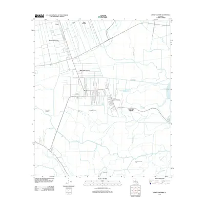
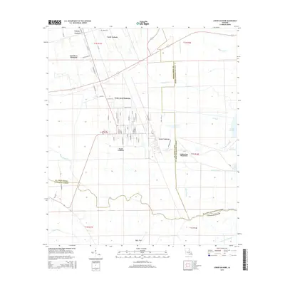
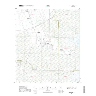
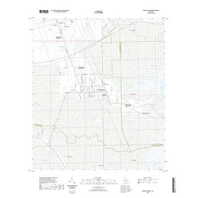
1962 Map of Lagan
USGS Topo · Published 1989About this map
The Mississippi River defines the northern arc of this landscape, its banks lined with the storied estates of Bon Secours Plantation, Laurel Ridge Plantation, and Oak Alley. The 1962 revision of this terrain captures a complex hydraulic and industrial network, where the St James-College Point Aqueduct and numerous elevated pipelines cross the cypress-heavy wetlands of the St James Parish and Lafourche Parish border.
Find a feature on this map
35 named features on this map. Tap any name to fly to it.
Don’t see what you’re looking for? This feature index may not catch every label — zoom into the map to look around manually.
Map Details
Editions of this 1962 Lagan Map
4 editions found
Historical Maps of Bessie K Through Time
17 maps found

1932 Lac Des Allemands NW
St. James Parish, LA
1932 Thibodaux NE
St. James Parish, LA
1940 Lagan
St. James Parish, LA
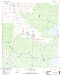
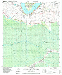
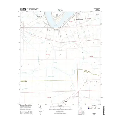
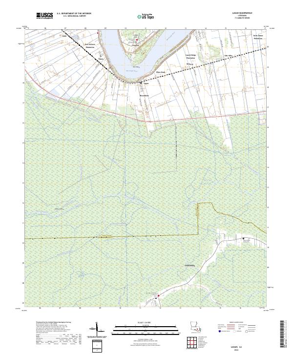
1962 Lagan
St. James Parish, LA
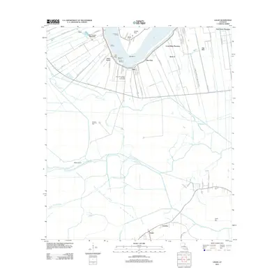
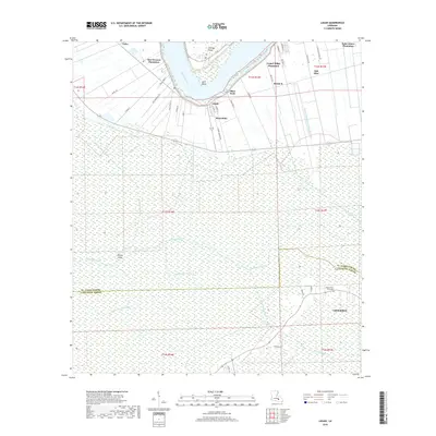
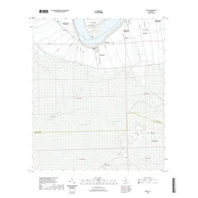
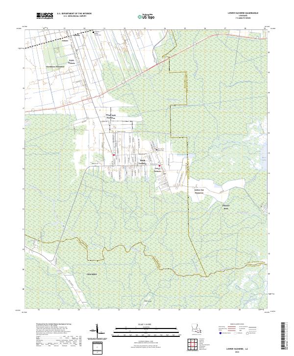
1962 Lower Vacherie
St. James Parish, LA
1998 Lagan
St. James Parish, LA
1998 Lower Vacherie
St. James Parish, LA
2012 Lagan
St. James Parish, LA
2012 Lower Vacherie
St. James Parish, LA
2015 Lagan
St. James Parish, LA
2015 Lower Vacherie
St. James Parish, LA
2018 Lagan
St. James Parish, LA
2018 Lower Vacherie
St. James Parish, LA
2020 Lagan
St. James Parish, LA
2020 Lower Vacherie
St. James Parish, LA
2024 Lagan
St. James Parish, LA
2024 Lower Vacherie
St. James Parish, LA