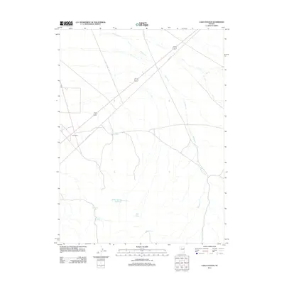
2012 Map of Lages Station
USGS Topo · Published 2012About this map
Lages Station sits at a critical junction in northeastern Nevada, where modern routes intersect the remnants of Old Hwy 93. This high-desert landscape in Elko County is defined by a sparse but vital network of water sources, essential for survival and navigation in this arid environment. The map documents numerous named springs tucked into the terrain, including Moonshine Spring, Trough Spring, and Lone Cedar Spring. Drainage patterns like Sampson Cr and N Cr emphasize the basin-and-range topography. To the south, the Willow Spring Reservoir and nearby Willow Spring provide a rare concentration of surface water, illustrating how geography dictates the few pockets of human activity and infrastructure in this part of the Great Basin.
Find a feature on this map
12 named features on this map. Tap any name to fly to it.
Don’t see what you’re looking for? This feature index may not catch every label — zoom into the map to look around manually.
Map Details
Editions of this 2012 Lages Station Map
This is the sole edition of this map. No revisions or reprints were ever made.
Other maps of this area

1955 · Elko
USGS Topo · 1:250,000

1956 · Ely
USGS Topo · 1:250,000

1958 · Elko
USGS Topo · 1:250,000

1959 · Ely
USGS Topo · 1:250,000

1962 · Elko
USGS Topo · 1:250,000

1963 · Ely
USGS Topo · 1:250,000

1965 · Elko
USGS Topo · 1:250,000

1982 · Chin Creek Spring
USGS Topo · 1:24,000
1982 · Boone Canyon
USGS Topo · 1:24,000

1982 · Cherry Spring
USGS Topo · 1:24,000