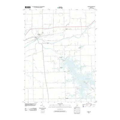
2010 Map of Lagro
USGS Topo · Published 2010About this map
The Wabash River and Salamonie River converge near the settlement of Lagro, a focal point of this 2010 topographic study of Wabash County. The landscape is defined by the massive impoundment of Salamonie Lake, held back by the Salamonie Dam. This modern infrastructure contrasts with older landmarks like the prominent Hanging Rock and several community burial grounds, including the Independent Order of Odd Fellows Cemetery and Saint Patrick Cemetery.
Find a feature on this map
69 named features on this map. Tap any name to fly to it.
Don’t see what you’re looking for? This feature index may not catch every label — zoom into the map to look around manually.
Map Details
Editions of this 2010 Lagro Map
This is the sole edition of this map. No revisions or reprints were ever made.
Other maps of this area

1950 · Lagro
USGS Topo · 1:24,000

1950 · Andrews
USGS Topo · 1:24,000

1950 · Mount Etna
USGS Topo · 1:24,000

1951 · Mount Etna
USGS Topo · 1:24,000

1951 · Andrews
USGS Topo · 1:24,000

1951 · Lagro
USGS Topo · 1:24,000

1952 · Wabash
USGS Topo · 1:24,000

1953 · La Fontaine
USGS Topo · 1:24,000

1953 · Somerset
USGS Topo · 1:24,000

1953 · Muncie
USGS Topo · 1:250,000