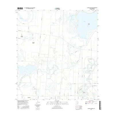
2016 Map of Laguna Atascosa
USGS Topo · Published 2016About this map
Bayview anchors the southeastern corner of this Cameron County landscape, where the tidal waters of Laguna Atascosa meet the winding channels of the Rio Grande Valley. The terrain is defined by a complex network of resacas and small lakes, including Resaca de los Fresnos and Cayo Atascoso, which create a distinct environment of seasonal wetlands and reservoirs like Mercer Reservoir 2. The map captures a transition between residential pockets and large agricultural tracts, with settlements such as Arroyo Gardens and La Tina Ranch connected by a grid of rural roads like Paredes Line RD. Genealogists and local historians may find interest in the Soldiers Cem located near Laureles, reflecting the local heritage in this coastal plain. The presence of named islands like Needle Island and various inland bodies of water such as El Preseno Lake further illustrates the low-lying, water-dependent geography of this South Texas region.
Find a feature on this map
57 named features on this map. Tap any name to fly to it.
Don’t see what you’re looking for? This feature index may not catch every label — zoom into the map to look around manually.
Map Details
Editions of this 2016 Laguna Atascosa Map
This is the sole edition of this map. No revisions or reprints were ever made.
Other maps of this area

1929 · Rio Hondo
USGS Topo · 1:24,000

1929 · La Coma
USGS Topo · 1:24,000

1929 · Buena Vista
USGS Topo · 1:24,000

1929 · Laguna Vista
USGS Topo · 1:24,000

1930 · Los Fresnos
USGS Topo · 1:24,000

1930 · Barreda
USGS Topo · 1:24,000

1930 · La Leona
USGS Topo · 1:24,000

1930 · Laguna Atascosa
USGS Topo · 1:24,000

1932 · Rio Hondo
USGS Topo · 1:31,680

1933 · Paso Real
USGS Topo · 1:31,680
Featured Places
- Bayview, TX
- Arroyo Gardens Number 4 Colonia, TX
- East Fresnos Colonia, TX
- Esquina Colonia, TX
- Lourdes Street Colonia, TX