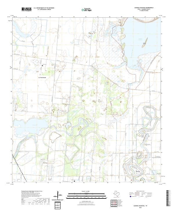
2022 Map of Laguna Atascosa
USGS Topo · Published 2022About this map
Laguna Atascosa and the surrounding coastal prairie of Cameron County define this landscape, where the intricate drainage patterns of south Texas are on full display. The area is characterized by numerous resacas, or former distributary channels, such as Resaca de los Cuates and Resaca de los Fresnos, which wind through the terrain alongside significant bodies of water like Cross Lake and Hormigas Lake. These water features supported early ranching and agricultural operations, evident in the presence of La Tina Ranch and various named tanks like El Civolo Tank.
Find a feature on this map
63 named features on this map. Tap any name to fly to it.
Don’t see what you’re looking for? This feature index may not catch every label — zoom into the map to look around manually.
Map Details
Editions of this 2022 Laguna Atascosa Map
This is the sole edition of this map. No revisions or reprints were ever made.
Other maps of this area

1929 · Rio Hondo
USGS Topo · 1:24,000

1929 · La Coma
USGS Topo · 1:24,000

1929 · Buena Vista
USGS Topo · 1:24,000

1929 · Laguna Vista
USGS Topo · 1:24,000

1930 · Los Fresnos
USGS Topo · 1:24,000

1930 · Barreda
USGS Topo · 1:24,000

1930 · La Leona
USGS Topo · 1:24,000

1930 · Laguna Atascosa
USGS Topo · 1:24,000

1932 · Rio Hondo
USGS Topo · 1:31,680

1933 · Paso Real
USGS Topo · 1:31,680
Featured Places
- Bayview, TX
- Arroyo Gardens Number 4 Colonia, TX
- Alfredo Garza Colonia, TX
- East Fresnos Colonia, TX
- Gumesindo Galvan Colonia, TX