2025 Map of Laguna Beach
USGS Topo · Published 2025About this map
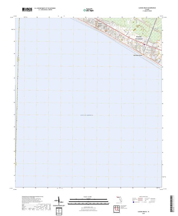
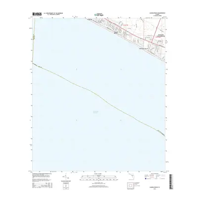
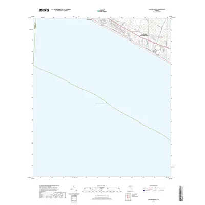
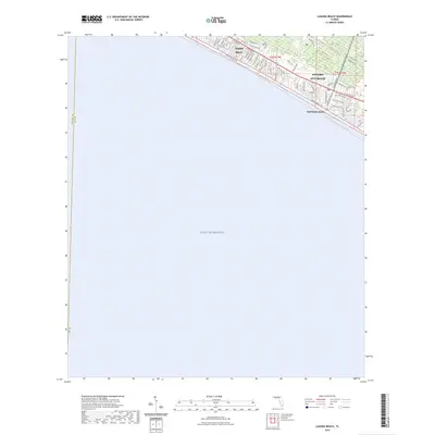
Laguna Beach and the western edge of Panama City Beach occupy a thin strip of the Florida panhandle between the vast Gulf of America and the low-lying wetlands of Bay County. This coastal landscape is defined by a dense residential grid that transitions from the established streets of Gulf Resort Beach to newer developments along Ibis Lake Dr. The map illustrates the dominance of the shoreline road network, where E Co Rd 30A and Front Beach Road facilitate the movement of people and commerce through these seaside communities. Inland, the terrain is characterized by intricate residential loops like N Lakewood Dr and Griffin Blvd, showing the high-density land use that has come to define this stretch of the Emerald Coast in the modern era. The boundary between Walton Co and Bay Co is clearly demarcated at the western edge, marking a significant jurisdictional divide in this tourist-centric region.
Find a feature on this map
51 named features on this map. Tap any name to fly to it.
Don’t see what you’re looking for? This feature index may not catch every label — zoom into the map to look around manually.
Map Details
Editions of this 2025 Laguna Beach Map
This is the sole edition of this map. No revisions or reprints were ever made.
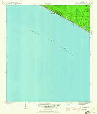
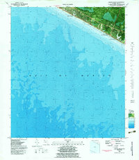
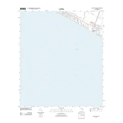
Historical Maps of Panama City Beach Through Time
8 maps found

Featured Locations
- Bay County, FL
- Walton County, FL
- Panama City Beach, FL
- Laguna Beach, FL
- Gulf Resort Beach, Panama City Beach