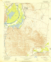
1955 Map of Laguna Dam
USGS Topo · Published 1956About this map
Mittry Lake and the Colorado River dominate this mid-century landscape where the border between California and Arizona is defined by the shifting water and the Imperial Co Yuma Co line. The desert terrain is heavily marked by military and industrial activity, notably the Yuma Test Station and the intricate hydraulic engineering of the All American Canal and Laguna Dam. In the southern portion of the quadrangle, the Gila River winds through the Laguna Mountains, shadowed by the Southern Pacific railroad and the historic path of the Butterfield Stage. Local history is preserved in the small settlement of Kool Corner and the Laguna Cem, while the surrounding slopes are dotted with resource extraction sites like the Los Flores Mine and Trio Mine, illustrating the intersection of transportation, mining, and large-scale water management in the North Gila Valley.
Find a feature on this map
49 named features on this map. Tap any name to fly to it.
Don’t see what you’re looking for? This feature index may not catch every label — zoom into the map to look around manually.
Map Details
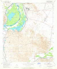
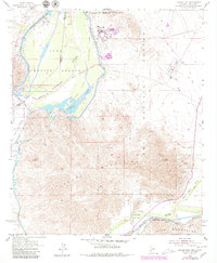
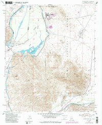
Editions of this 1955 Laguna Dam Map
4 editions found
Other maps of this area

1903 · Yuma
USGS Topo · 1:125,000

1905 · Yuma
USGS Topo · 1:125,000

1926 · Fortuna
USGS Topo · 1:62,500

1929 · Fortuna
USGS Topo · 1:62,500

1929 · Laguna
USGS Topo · 1:62,500

1940 · Yuma
USGS Topo · 1:62,500

1942 · Yuma
USGS Topo · 1:250,000

1943 · Laguna
USGS Topo · 1:62,500

1945 · Picacho Peak
USGS Topo · 1:62,500

1945 · Yuma
USGS Topo · 1:62,500