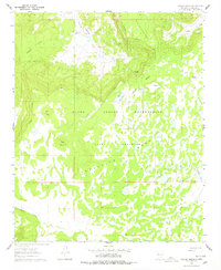
1961 Map of Laguna Honda
USGS Topo · Published 1978About this map
The Acoma Indian Reservation and the adjacent Acoma Purchase dominate this 1961 landscape, a high-desert region defined by prominent mesas and archaeological history. Evidence of early habitation is noted through the Kow-Ina Ruins and other unnamed Ruins situated near the head of Cebollita Canyon. The topography is characterized by massive elevated formations like Cebollita Mesa and North Cebollita Mesa, which overlook a network of seasonal water sources and small lakes.
Find a feature on this map
22 named features on this map. Tap any name to fly to it.
Don’t see what you’re looking for? This feature index may not catch every label — zoom into the map to look around manually.
Map Details
Editions of this 1961 Laguna Honda Map
2 editions found
Other maps of this area

1917 · Broom Mountain
USGS Topo · 1:125,000

1954 · Socorro
USGS Topo · 1:250,000

1958 · Socorro
USGS Topo · 1:250,000
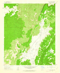
1961 · North Pasture
USGS Topo · 1:24,000
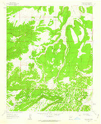
1961 · Crow Point
USGS Topo · 1:24,000
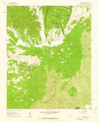
1961 · Arrosa Ranch
USGS Topo · 1:24,000
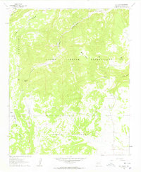
1961 · Blue Mesa
USGS Topo · 1:24,000
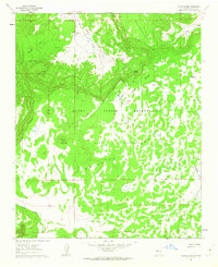
1961 · Laguna Honda
USGS Topo · 1:24,000
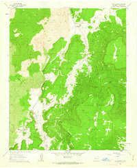
1961 · Los Pilares
USGS Topo · 1:24,000

1962 · Socorro
USGS Topo · 1:250,000