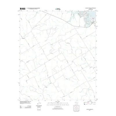
2012 Map of Laguna Park
USGS Topo · Published 2012About this map
The community of Laguna Park sits on the western shores of Lake Whitney, where residential development meets the agricultural expanses of Bosque County. This rural landscape is defined by its drainage towards the reservoir, with waterways like Rocky Cr, Little Rocky Cr, and Coon Cr carving paths through the terrain. The settlement patterns reflect a shift from the older inland hamlets to contemporary shoreline living, evidenced by the concentration of roads near the water compared to the sparse grid of county roads further west.
Find a feature on this map
68 named features on this map. Tap any name to fly to it.
Don’t see what you’re looking for? This feature index may not catch every label — zoom into the map to look around manually.
Map Details
Editions of this 2012 Laguna Park Map
This is the sole edition of this map. No revisions or reprints were ever made.
Other maps of this area

1888 · Meridian
USGS Topo · 1:125,000

1892 · Waco
USGS Topo · 1:125,000

1894 · Meridian
USGS Topo · 1:125,000

1920 · Waco
USGS Topo · 1:125,000

1924 · Waco 2-b
USGS Topo · 1:48,000

1931 · Whitney
USGS Topo · 1:62,500

1931 · Valley Mills
USGS Topo · 1:62,500

1954 · Waco
USGS Topo · 1:250,000

1955 · Waco
USGS Topo · 1:250,000

1955 · Clifton
USGS Topo · 1:24,000