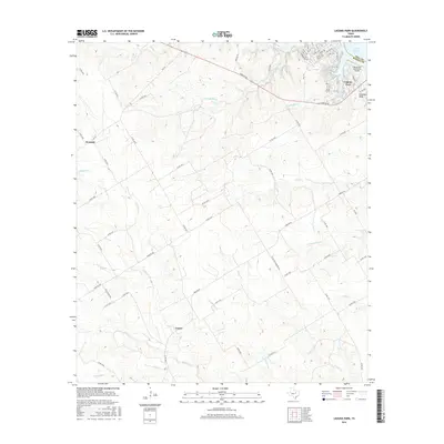
2016 Map of Laguna Park
USGS Topo · Published 2016About this map
Laguna Park and the northeastern corner of Bosque County are defined by their relationship to the shoreline of Lake Whitney. The community is situated along the high ground of Sosebee Bluff, overlooking the reservoir and supporting local aviation at the Laguna Park Community Airport. This 2016 survey highlights a landscape heavily dissected by numerous watercourses, including the substantial Childress Cr and Coon Cr systems that drain eastward toward the lake.
Find a feature on this map
66 named features on this map. Tap any name to fly to it.
Don’t see what you’re looking for? This feature index may not catch every label — zoom into the map to look around manually.
Map Details
Editions of this 2016 Laguna Park Map
This is the sole edition of this map. No revisions or reprints were ever made.
Other maps of this area

1888 · Meridian
USGS Topo · 1:125,000

1892 · Waco
USGS Topo · 1:125,000

1894 · Meridian
USGS Topo · 1:125,000

1920 · Waco
USGS Topo · 1:125,000

1924 · Waco 2-b
USGS Topo · 1:48,000

1931 · Whitney
USGS Topo · 1:62,500

1931 · Valley Mills
USGS Topo · 1:62,500

1954 · Waco
USGS Topo · 1:250,000

1955 · Waco
USGS Topo · 1:250,000

1955 · Clifton
USGS Topo · 1:24,000