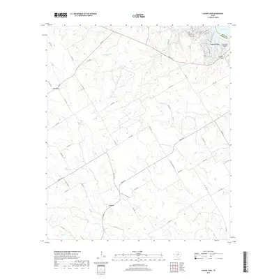
2019 Map of Laguna Park
USGS Topo · Published 2019About this map
Laguna Park serves as a modern anchor on the western shore of Lake Whitney, where the landscape transitions from the developed lakeside residential streets to the agricultural expanses of Bosque County. This survey reveals a complex drainage network feeding the Brazos River valley, including the winding paths of Coon Cr, Childress Cr, and Cottonwood Cr. The settlement of Womack sits at a critical road junction in the northwest, while Cayote marks a rural center further south.
Find a feature on this map
65 named features on this map. Tap any name to fly to it.
Don’t see what you’re looking for? This feature index may not catch every label — zoom into the map to look around manually.
Map Details
Editions of this 2019 Laguna Park Map
This is the sole edition of this map. No revisions or reprints were ever made.
Other maps of this area

1888 · Meridian
USGS Topo · 1:125,000

1892 · Waco
USGS Topo · 1:125,000

1894 · Meridian
USGS Topo · 1:125,000

1920 · Waco
USGS Topo · 1:125,000

1924 · Waco 2-b
USGS Topo · 1:48,000

1931 · Whitney
USGS Topo · 1:62,500

1931 · Valley Mills
USGS Topo · 1:62,500

1954 · Waco
USGS Topo · 1:250,000

1955 · Waco
USGS Topo · 1:250,000

1955 · Clifton
USGS Topo · 1:24,000