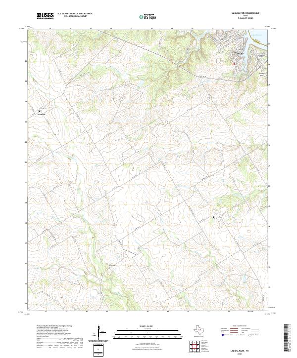
2022 Map of Laguna Park
USGS Topo · Published 2022About this map
Laguna Park sits at the northeastern edge of this map where the waters of Lake Whitney meet the limestone breaks of the Hill Co Bosque Co line. The terrain is defined by a dense network of seasonal drainages, including Childress Cr, Coon Cr, and Cottonwood Cr, which carve through the ranch land. These waterways converge as they move toward the Brazos River valley, shaping the local geography.
Find a feature on this map
68 named features on this map. Tap any name to fly to it.
Don’t see what you’re looking for? This feature index may not catch every label — zoom into the map to look around manually.
Map Details
Editions of this 2022 Laguna Park Map
This is the sole edition of this map. No revisions or reprints were ever made.
Other maps of this area

1888 · Meridian
USGS Topo · 1:125,000

1892 · Waco
USGS Topo · 1:125,000

1894 · Meridian
USGS Topo · 1:125,000

1920 · Waco
USGS Topo · 1:125,000

1924 · Waco 2-b
USGS Topo · 1:48,000

1931 · Whitney
USGS Topo · 1:62,500

1931 · Valley Mills
USGS Topo · 1:62,500

1954 · Waco
USGS Topo · 1:250,000

1955 · Waco
USGS Topo · 1:250,000

1955 · Clifton
USGS Topo · 1:24,000