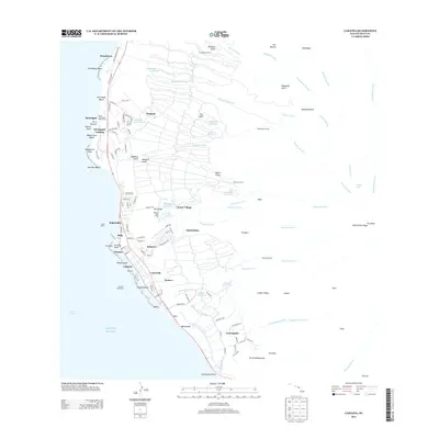
2013 Map of Lahaina
USGS Topo · Published 2013About this map
Lahaina and the West Maui coastline are depicted here in a period of established resort development alongside deep-rooted local history. The coastal corridor from Mākila north to Honokōwai shows a landscape defined by its transition from the shoreline to the high ridges of the interior. Significant landmarks like the Mala Wharf and the Hauola Stone reflect the maritime and cultural heritage of the area, while the modern infrastructure of the Royal Ka‘anapali Golf Course and Kā‘anapali Landing signals the shift toward tourism.
Find a feature on this map
136 named features on this map. Tap any name to fly to it.
Don’t see what you’re looking for? This feature index may not catch every label — zoom into the map to look around manually.
Map Details
Editions of this 2013 Lahaina Map
This is the sole edition of this map. No revisions or reprints were ever made.
Other maps of this area

1954 · Maui
USGS Topo · 1:250,000

1954 · Maalaea
USGS Topo · 1:24,000

1955 · Olowalu
USGS Topo · 1:24,000

1955 · Wailuku
USGS Topo · 1:24,000

1955 · Kahakuloa
USGS Topo · 1:24,000

1956 · Lahaina
USGS Topo · 1:24,000

1956 · Honolua
USGS Topo · 1:24,000

1966 · Maui
USGS Topo · 1:250,000

1974 · Maui
USGS Topo · 1:250,000

1977 · Wailuku
USGS Topo · 1:24,000