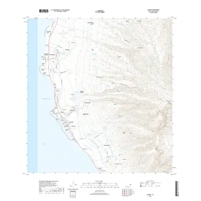
2017 Map of Lahaina
USGS Topo · Published 2017About this map
Lahaina anchors this West Maui landscape, showing the town's intricate layout between the Pacific Ocean and the steep West Maui Mountains. The map documents a complex irrigation and water management system essential to the region's history, featuring the Honokowai Ditch, Lahaina Pump Ditch One, and numerous upland reservoirs like Honokowai and Kahoma Reservoir. For those tracing local heritage, the map identifies significant sites such as the Hauola Stone on the shoreline and the Waiola Congregational Church Cemetery. Residential development is visible in neighborhoods like Lunaville, Kelawea, and the coastal resort area of Ka'anapali. Beyond the urban core, the terrain rises sharply through Wahikuli Gulch and Hahakea Gulch, leading to tunnels like the Kahoma Tunnel and high ridges such as Luako'i Ridge, which define the area's geological character.
Find a feature on this map
120 named features on this map. Tap any name to fly to it.
Don’t see what you’re looking for? This feature index may not catch every label — zoom into the map to look around manually.
Map Details
Editions of this 2017 Lahaina Map
This is the sole edition of this map. No revisions or reprints were ever made.
Other maps of this area

1954 · Maui
USGS Topo · 1:250,000

1954 · Maalaea
USGS Topo · 1:24,000

1955 · Olowalu
USGS Topo · 1:24,000

1955 · Wailuku
USGS Topo · 1:24,000

1955 · Kahakuloa
USGS Topo · 1:24,000

1956 · Lahaina
USGS Topo · 1:24,000

1956 · Honolua
USGS Topo · 1:24,000

1966 · Maui
USGS Topo · 1:250,000

1974 · Maui
USGS Topo · 1:250,000

1977 · Wailuku
USGS Topo · 1:24,000