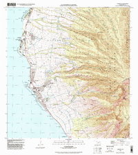
1992 Map of Lahaina
USGS Topo · Published 1999About this map
Lahaina serves as the focal point of this coastal survey, where the historic port town meets the steep drainage systems of the West Maui mountains. The landscape reveals a complex network of water management, evidenced by numerous reservoirs like Puukolii Res and Honokowai Res connected by an intricate series of gulches including Wahikuli Gulch and Hahakea Gulch. This infrastructure supported the local economy long before the region's full transition to tourism, as seen by the Mill Stack near Mala.
Find a feature on this map
87 named features on this map. Tap any name to fly to it.
Don’t see what you’re looking for? This feature index may not catch every label — zoom into the map to look around manually.
Map Details
Editions of this 1992 Lahaina Map
This is the sole edition of this map. No revisions or reprints were ever made.
Other maps of this area

1954 · Maui
USGS Topo · 1:250,000

1954 · Maalaea
USGS Topo · 1:24,000

1955 · Olowalu
USGS Topo · 1:24,000

1955 · Wailuku
USGS Topo · 1:24,000

1955 · Kahakuloa
USGS Topo · 1:24,000

1956 · Lahaina
USGS Topo · 1:24,000

1956 · Honolua
USGS Topo · 1:24,000

1966 · Maui
USGS Topo · 1:250,000

1974 · Maui
USGS Topo · 1:250,000

1977 · Wailuku
USGS Topo · 1:24,000