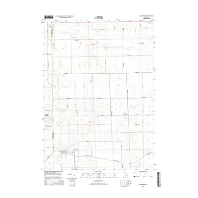
2014 Map of Laingsburg
USGS Topo · Published 2014About this map
Laingsburg and the southern edge of Ovid anchor this 2014 landscape, which spans the boundary between Clinton Co and Shiawassee Co. The southern portion of the map is defined by the Looking Glass River and the local activity around Diamond Lake, while the Maple River winds through the northern sections. This area shows a persistent pattern of rural heritage, preserved through numerous small burial grounds including Mt Olivet Catholic Cem and Middlebury Cem.
Find a feature on this map
69 named features on this map. Tap any name to fly to it.
Don’t see what you’re looking for? This feature index may not catch every label — zoom into the map to look around manually.
Map Details
Editions of this 2014 Laingsburg Map
This is the sole edition of this map. No revisions or reprints were ever made.
Other maps of this area

1917 · Chesaning
USGS Topo · 1:62,500

1918 · Elsie
USGS Topo · 1:62,500

1926 · Corunna
USGS Topo · 1:62,500

1928 · Laingsburg
USGS Topo · 1:62,500

1929 · Corunna
USGS Topo · 1:62,500

1943 · Chesaning
USGS Topo · 1:62,500

1943 · Elsie
USGS Topo · 1:62,500

1944 · Laingsburg
USGS Topo · 1:62,500

1944 · Corunna
USGS Topo · 1:62,500

1954 · Midland
USGS Topo · 1:250,000