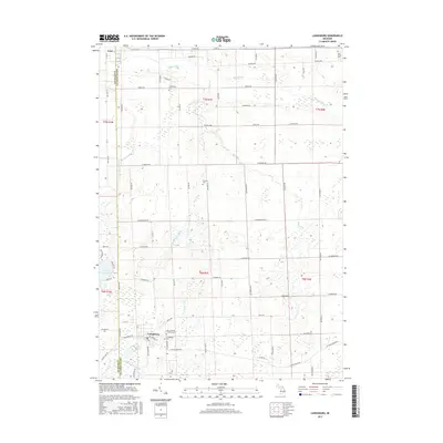
2017 Map of Laingsburg
USGS Topo · Published 2017About this map
Laingsburg and Ovid anchor the north and south ends of this landscape along the Clinton and Shiawassee County line. The terrain is defined by a dense network of agricultural drainage and slow-moving water, including the Maple River in the north and the Looking Glass River in the south. Genealogists will find a high density of rural burial grounds, such as Middlebury Cemetery and Putnam Cemetery, which often represent the earliest nineteenth-century farm families of these townships. To the west, Lake Victoria stands out as a distinctive water body surrounded by a residential street grid, contrasting with the strictly rectilinear section-line road system that governs the rest of the quadrangle. Several man-made waterways like Putnam Drain and Alder Creek Drain demonstrate the long-term efforts to manage the low-lying glacial topography for productive farmland.
Find a feature on this map
68 named features on this map. Tap any name to fly to it.
Don’t see what you’re looking for? This feature index may not catch every label — zoom into the map to look around manually.
Map Details
Editions of this 2017 Laingsburg Map
This is the sole edition of this map. No revisions or reprints were ever made.
Other maps of this area

1917 · Chesaning
USGS Topo · 1:62,500

1918 · Elsie
USGS Topo · 1:62,500

1926 · Corunna
USGS Topo · 1:62,500

1928 · Laingsburg
USGS Topo · 1:62,500

1929 · Corunna
USGS Topo · 1:62,500

1943 · Chesaning
USGS Topo · 1:62,500

1943 · Elsie
USGS Topo · 1:62,500

1944 · Laingsburg
USGS Topo · 1:62,500

1944 · Corunna
USGS Topo · 1:62,500

1954 · Midland
USGS Topo · 1:250,000