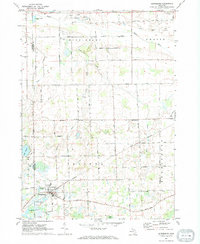
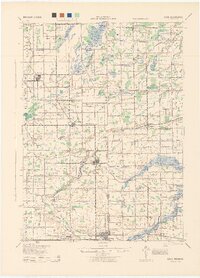
1972 Map of Laingsburg
USGS Topo · Published 1974About this map
The Penn Central railroad cuts through the southern heart of the landscape, anchoring the city of Laingsburg amidst a network of glacial lakes and river bottomlands. This 1972 survey captures the transition from small-town centers like Ovid to the rural townships of Middlebury, Owosso, Sciota, and Bennington. The terrain is marked by the winding paths of the Maple River in the north and the Looking Glass River in the south, which drain a countryside dotted with family-scale agricultural landmarks and local industry, including numerous Gravel Pits. For genealogists, the map is a precise record of local heritage, preserving the locations of the Middlebury Ch and several burial grounds like Oak Grove Cem, Middlebury Cem, and Putnam Cem. These features, alongside the varied water bodies like Lake Victoria, Diamond Lake, and Round Lake, provide a clear picture of Shiawassee County's mid-century rural organization.
Find a feature on this map
37 named features on this map. Tap any name to fly to it.
Don’t see what you’re looking for? This feature index may not catch every label — zoom into the map to look around manually.
Map Details
Editions of this 1972 Laingsburg Map
This is the sole edition of this map. No revisions or reprints were ever made.
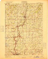
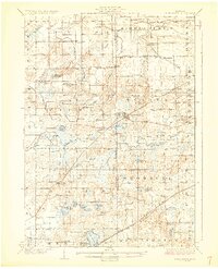
Other maps of this area
1917 · Chesaning
USGS Topo · 1:62,500

1918 · Elsie
USGS Topo · 1:62,500

1926 · Corunna
USGS Topo · 1:62,500
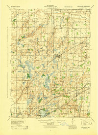
1928 · Laingsburg
USGS Topo · 1:62,500
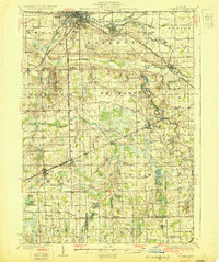
1929 · Corunna
USGS Topo · 1:62,500
1943 · Chesaning
USGS Topo · 1:62,500
1943 · Elsie
USGS Topo · 1:62,500
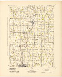
1944 · Laingsburg
USGS Topo · 1:62,500

1944 · Corunna
USGS Topo · 1:62,500

1954 · Midland
USGS Topo · 1:250,000
Featured Places
- Ovid, Ovid Township
- Laingsburg, MI
- Ovid Township, MI
- Owosso Charter Township, MI
- Middlebury Township, MI