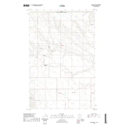
2020 Map of Laird School
USGS Topo · Published 2020About this map
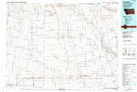
The Canada United States of America international border defines the northern edge of this Liberty County landscape, where the High Plains transition into a complex network of seasonal drainages. The Sage Creek Colony serves as a primary point of habitation in this expansive ranching and farming country. Water management is critical to the local economy, as evidenced by the Turner Reservoir and the winding paths of Laird Cr and Sage Cr.
Find a feature on this map
23 named features on this map. Tap any name to fly to it.
Don’t see what you’re looking for? This feature index may not catch every label — zoom into the map to look around manually.
Map Details
Editions of this 2020 Laird School Map
This is the sole edition of this map. No revisions or reprints were ever made.
Other maps of this area

1919 · Alma
USGS Topo · 1:125,000

1954 · Shelby
USGS Topo · 1:250,000

1958 · Shelby
USGS Topo · 1:250,000
1962 · Bingham Lake
USGS Topo · 1:24,000

1962 · Mount Lebanon
USGS Topo · 1:24,000

1963 · Bobcat Coulee SE
USGS Topo · 1:24,000

1963 · Vaver Reservoir
USGS Topo · 1:24,000
1964 · Bobcat Coulee NE
USGS Topo · 1:24,000
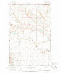
1964 · Laird School
USGS Topo · 1:24,000
1984 · Chester
USGS Topo · 1:100,000