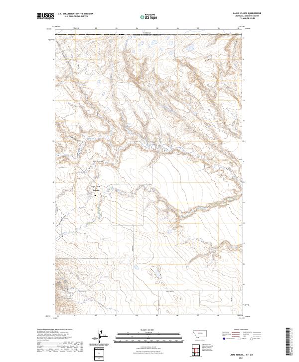
2024 Map of Laird School
USGS Topo · Published 2024About this map
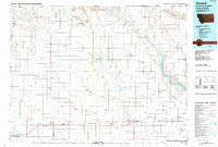
Sage Creek Colony stands as a primary point of interest in this section of Liberty County, situated along the undulating drainage of Sage Creek. The landscape is defined by its series of distinct coulees, including Carvers Coulee, Mac Coulee, and Chicken Coulee, which channel runoff toward the more significant creek beds. In the north, the international boundary with Canada is clearly marked, illustrating the map's position at the very edge of the northern plains.
Find a feature on this map
22 named features on this map. Tap any name to fly to it.
Don’t see what you’re looking for? This feature index may not catch every label — zoom into the map to look around manually.
Map Details
Editions of this 2024 Laird School Map
This is the sole edition of this map. No revisions or reprints were ever made.
Other maps of this area

1919 · Alma
USGS Topo · 1:125,000

1954 · Shelby
USGS Topo · 1:250,000

1958 · Shelby
USGS Topo · 1:250,000
1962 · Bingham Lake
USGS Topo · 1:24,000

1962 · Mount Lebanon
USGS Topo · 1:24,000

1963 · Bobcat Coulee SE
USGS Topo · 1:24,000

1963 · Vaver Reservoir
USGS Topo · 1:24,000
1964 · Bobcat Coulee NE
USGS Topo · 1:24,000
1964 · Laird School
USGS Topo · 1:24,000
1984 · Chester
USGS Topo · 1:100,000