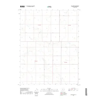
2019 Map of Lake Albert NW
USGS Topo · Published 2019About this map
White Woman Creek and South Ladder Creek define the drainage patterns across this high plains section of Cheyenne County. The landscape is structured by a systematic township and range grid, where section lines are traced by a network of rural routes including Co Rd K and Co Rd D. This 2019 survey documents the enduring agricultural geometry of the region, showing how contemporary county roads continue to follow the foundational land divisions established during early settlement. The seasonal nature of the waterways is evident in the intermittent flow lines of White Woman Creek, which remains a prominent geographical marker in this arid portion of eastern Colorado.
Find a feature on this map
11 named features on this map. Tap any name to fly to it.
Don’t see what you’re looking for? This feature index may not catch every label — zoom into the map to look around manually.
Map Details
Editions of this 2019 Lake Albert NW Map
This is the sole edition of this map. No revisions or reprints were ever made.
Other maps of this area

1892 · Cheyenne Wells
USGS Topo · 1:125,000

1894 · Cheyenne Wells
USGS Topo · 1:125,000

1954 · Lamar
USGS Topo · 1:250,000

1958 · Lamar
USGS Topo · 1:250,000

1969 · Arapahoe SE
USGS Topo · 1:24,000

1969 · Cheyenne Wells 4 NE
USGS Topo · 1:24,000
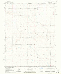
1969 · Cheyenne Wells 4 SE
USGS Topo · 1:24,000

1981 · Cheyenne Wells
USGS Topo · 1:100,000
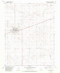
1982 · Cheyenne Wells
USGS Topo · 1:24,000
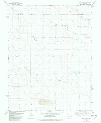
1982 · Lake Albert
USGS Topo · 1:24,000